


Registration now closed
Was This a Station?
Investigating the Architecture of the Underground Railroad
Thursday, September 18
6:30pm - 8:00pm
Bexley Public Library
Bexley Library AuditoriumKaren Lewis explores the architectural evolution of the Neil House, located on OSU's campus, to uncover what is true and what is false about its mythology of being an Underground Railroad station.
For over sixty years, sources have claimed underground tunnels, hidden passageways, and secret rooms in the Neil House, located at 1842 Indianola Avenue, concealed people escaping slavery. However, it remained unclear whether these features resulted from Underground Railroad activity or decades of building renovations and utility development.
This work is now shown in an exhibition at Ohio State's Thompson Library, which explores the architectural evolution of the Neil House, the broader campus landscape from river to ravine, and Ohio's "Underground Railroad imaginary"—the stories shaping how we understand this history. Through architectural models, historical documents, and archival materials, visitors encounter the complex relationship between physical evidence and historical memory, examining what architectural investigation can—and cannot—reveal about spaces of freedom.
Karen Lewis's current research visualizes the Underground Railroad, providing critical counter-narratives through mapping, drawing, and writing in support of a forthcoming book proposal, Architecture of the Underground Railroad.
About the Presenter:
Karen Lewis is an Associate Professor of Architecture at The Ohio State University whose research and teaching address how visual and information systems shape the architectural, territorial and infrastructural space they create and inhabit. She theorizes the entanglement of how these spaces rely upon and embed information into their structures, systems and organizational logics through design and writing. As an undergraduate at Wellesley College, Professor Lewis was introduced to complex spatial mapping and multi-dimensional graphics when studying astronomy. She worked in New York as a museum exhibition designer, user-interface designer, and a toy-design researcher before beginning her Masters in Architecture at the Harvard University Graduate School of Design, completing her thesis on spatial logistics.
As Associate Professor of Architecture at The Ohio State University, Professor Lewis has expanded her research in the graphics of spatial complexity, turning her attention to the stories hidden within archives. She has held fellowships at Dumbarton Oaks, the Newberry Library, and through the National Endowment for the Humanities to study the 19th-century visualization strategies, maps and graphic tools of the transcontinental American west, with a focus on the visualizations of the Army Corps of Topographic Engineers. Her book, Graphic Design for Architects (Routledge 2015) pedagogically positions issues of architectural representation through the lens of information design and visual communication, and is one of the publisher’s best performing architecture publications of the 21st century. Professor Lewis’s current research visualizes the Underground Railroad, providing critical counter-narratives through mapping, drawing, and writing.
If you would like to receive an email reminder about this event, please register. Join us in person, or live stream this program on BPL's YouTube channel.
AGE GROUP: | Adults |
EVENT TYPE: | Global and Cultural Awareness | Civics, Current Events, and History |
Bexley Public Library
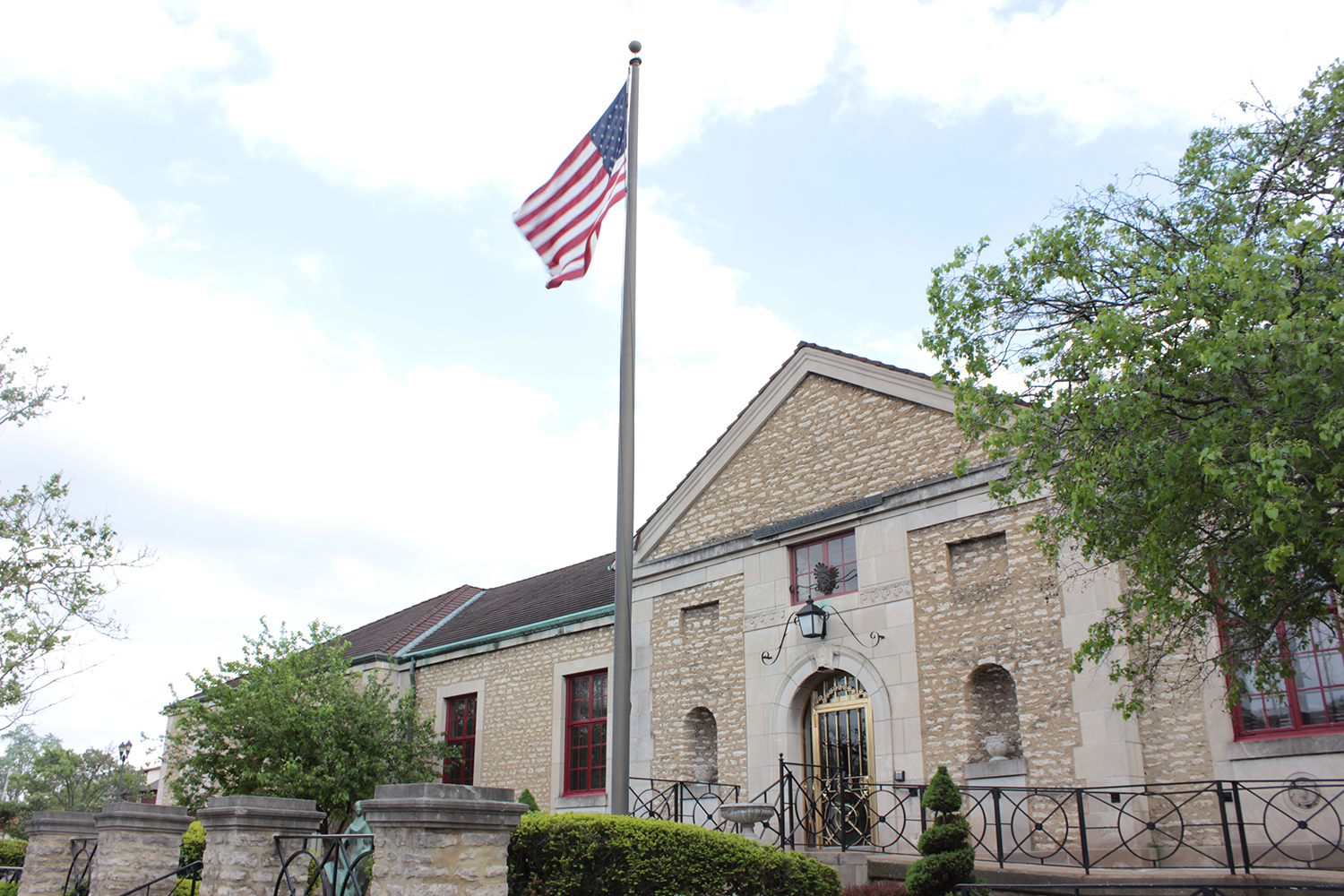
Bexley Public Library was founded in 1924 and first housed in Bexley High School, now Montrose Elementary School. The present building opened in 1929 and was designed by architects O.C. Miller and R.R. Reeves who drew upon French and Italian architecture from the 17th century for the design.
The library is located at 2411 East Main Street, at the intersection of East Main Street and Cassady Avenue. Parking is available in our parking lot on Euclaire Avenue and in front of the library on Main Street. Main Street is a No Parking Tow Zone from 4:00-6:00 p.m. weekdays.